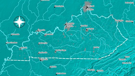
Printable Maps and Resources are available for viewing, download and printing at high resolution. These are static maps that have been generated to show geographic data and information.

Center for Crop Diversification Maps & Mapping Resources
Printable
Interactive
Interactive maps and resources are mobile and desktop computer friendly maps that can be interacted with to look up information and find resources in the Commonwealth of Kentucky.
Geographic Horticulture Directory of Kentucky
This interactive and mobile-friendly map shows the locations and details of resources related to Horticultural Activity across the Commonwealth of Kentucky.
| Farmer's Markets | Produce Auctions | Horticulture Supply Stores |
| Shared Equipment | Roadside Stands | Water Testing Labs |
| and more... |
Fruit and Nut Cultivar Nursery Source Directory
This interactive map shows the locations, contact details and available fruit and nut varieties of nurseries across the United States which sell cultivars recommended for commercial production in Kentucky. This map is a supplemental resource for the University of Kentucky Horticulture Department Fact Sheet HortFact-3002: Fruit and Nut Cultivar Sources --2020.
Kentucky Commercial Cut Flower Grower Directory
This interactive and mobile-friendly map shows the locations and details of commercial cut flower growers across the Commonwealth of Kentucky.
Kentucky Christmas Tree Farm Directory
This interactive and mobile-friendly map shows the locations and contact details of Christmas Tree Farms across the Commonwealth of Kentucky.
Agricultural Service Provider Directory
This interactive and mobile-friendly map shows the locations and details of resources related to agricultural service providers across the Commonwealth of Kentucky.
| Conservation District Offices | Cooperative Extension Offices | USDA-NRCS Offices |
| Shared Equipment | Communal/Commercial Kitchens | Business Development |
| UK Resources | KSU Resources |


